Mt. Tsukuba is a sacred mountain and a popular day-trip destination located in Tsukuba city, Ibaraki Prefecture, next to Tokyo. If you crave to be surrounded by lush greenery and don't mind a relatively steep uphill hike, it's one of the best mountain destinations one can have without having to spend the night outside the city.
There’s certainly no shortage of mountains surrounding the Japanese capital. While Takao-san, or Mt. Takao, might be the most accessible one from central Tokyo, mt. Tsukuba too, is fairly easy to get to from downtown, with roughly 90 minutes of travel time from Akihabara to the foot of the mountain.
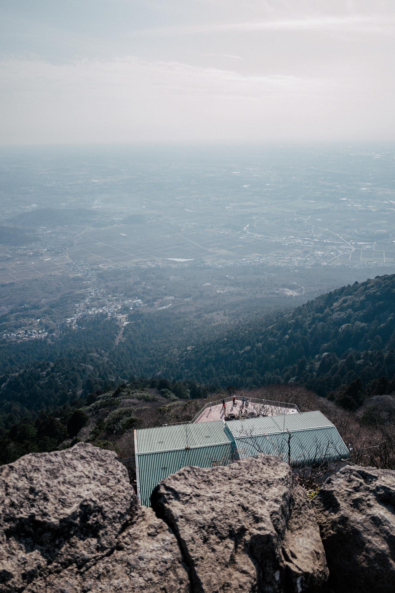
The peak of Mt. Tsukuba is 877 meters above sea level. It will give its visitors a dramatic view of the Kanto plain, with the skyline of Tokyo visible on clear days. If you are fortunate, even Mt. Fuji might be visible from the top.
Tsukuba-san Jinja (shrine) is one of the entrances to the hiking trails at Mt. Tsukuba
In fact, Mt. Tsukuba sports not one but two peaks, located a mere 10 minutes hike from each other. According to the legend, this is due to a deity that once visited from the heavens, asking both Mt. Fuji and Mt. Tsukuba for a place to spend the night. Snobbish and self-aware Mt. Fuji declined the request, as that would spoil its almost perfectly symmetrical shape. Mt. Tsukuba, on the other hand, was more accommodating. Since then, the mountain has had its current look. If you are interested in learning more about the legend, Wikipedia has a good summary of it here: https://en.wikipedia.org/wiki/Mount_Tsukuba
But this blog post is about hiking the mountain, not about mythological stories. So what's the experience like once you get there? I'll get to that in a moment, but please let me tell you that my legs still hurt at the time of writing this, the day after my first time visiting Mt. Tsukuba. Please note that I'm an inexperienced hiker, so this is written from the perspective of a relatively unfit city-dweller who rarely climbs mountains. For more experienced hikers, Mt. Tsukuba would probably best be described as "baby-level". In fact, I did both young kids as well as groups of retirees traversing the same hiking trail as I did, which should tell you something…
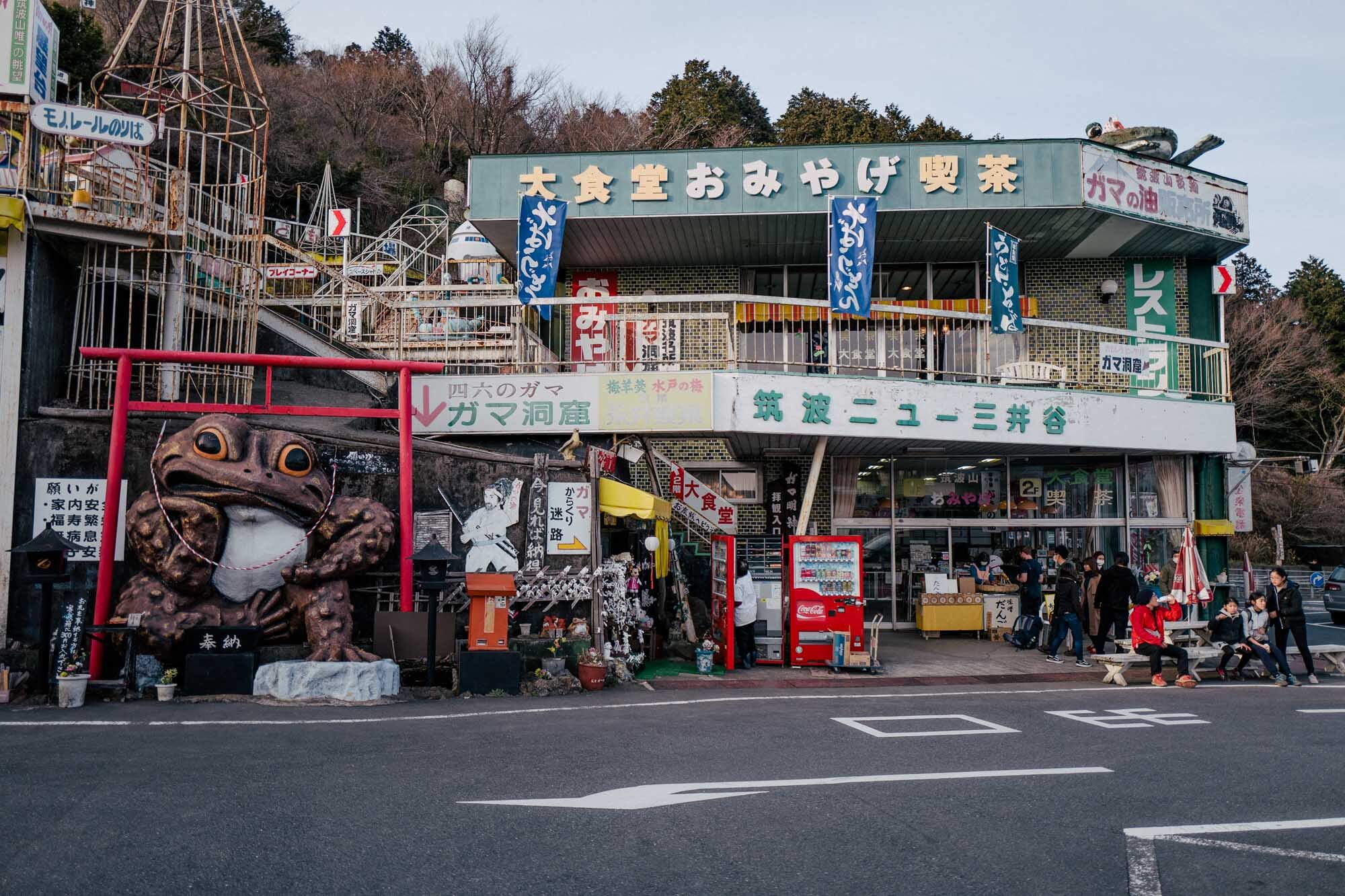
Visitors have two primary options when it comes to where to start the hike. I opted for Tsukuba-san-jinja, a beautiful and surprisingly big Shinto shrine, located next to a cable car stop, and accessible by a 35-minute bus ride from Tsukuba Station. The shrine is located in a sleepy village, with a few souvenir shops as well as simple restaurants, a handful of hotels (including love hotels) and not much else. It's evident that the town has seen better days, as several houses stood abandoned at the time I visited.
After spending some time exploring the shrine area, it was time to start the hike up the mountain. There's also a cable car available, that will take you to the top quickly, but since that's cheating, I opted for the more physically demanding way of getting there, a hiking trail known as the Miyukigahara-route, that mostly runs in parallel with the cable car.
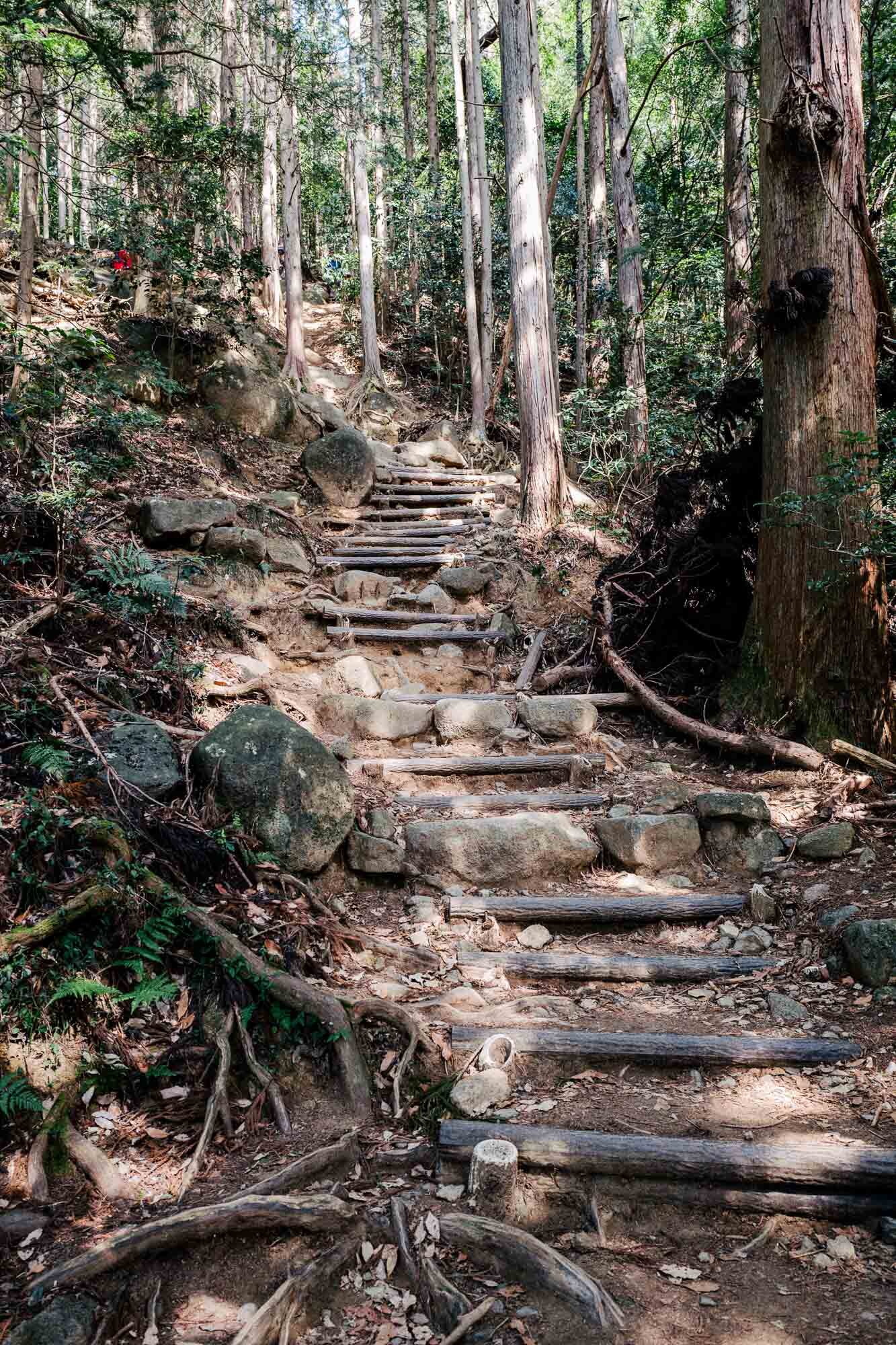
This part of the hike turned out to be the toughest part of the entire day. The hike up follows a simple hiking path, where stairs and a few benches have been placed at strategic locations. Compared to the experience of "climbing" Mt. Takao, the hike up Mt. Tsukuba was much steeper though, it was a roughly an hourlong constant uphill climb, relatively steep at some points. But despite being quite tough, it was also enjoyable and satisfying, thanks to the fact that the entire climb goes through a lush forest. While there aren't much in terms of good views to speak of, we were blessed with perfect weather during the day of the visit. The sun shining through the foliage made the entire experience very scenic and full of photographic opportunities.
The area around the peak itself was somewhat less impressive than expected. There's a handful of shops around, serving the kind of food one can expect to find on top of a Japanese mountain. That means dishes such as mountain soba and udon noodles, oden as well as canned beer, chu-hi and soft drinks. There's also a small observation deck/tower located next to the restaurants, called Koma Observatory (コマ展望台) http://www.mt-tsukuba.com/?page_id=225 Where you can get a 360-degree panoramic view of the surroundings.
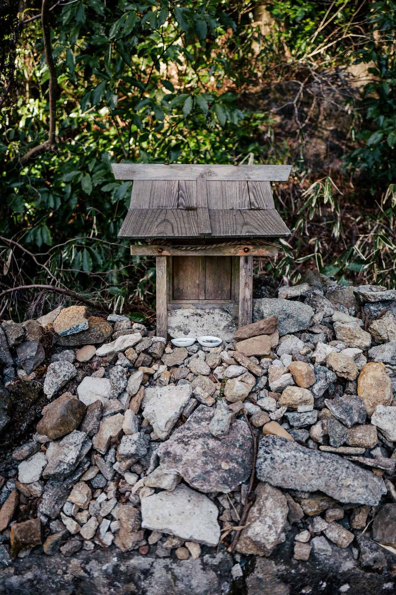
The two peaks, are called Nyotai-san and. Nantai-san (female body and male body, literally translated). As mentioned previously, they are just a few minutes apart, and the area connecting them are relatively flat. Nyotai-san is the higher of the two peaks by a mere 6 meters. At this peak, a small shrine is located, and there's a smaller observation deck there too. From there, you are treated to some of the best views of the landscape below. But it's worth noting that the observation deck here is relatively small and can get uncomfortably crowded during peak seasons.
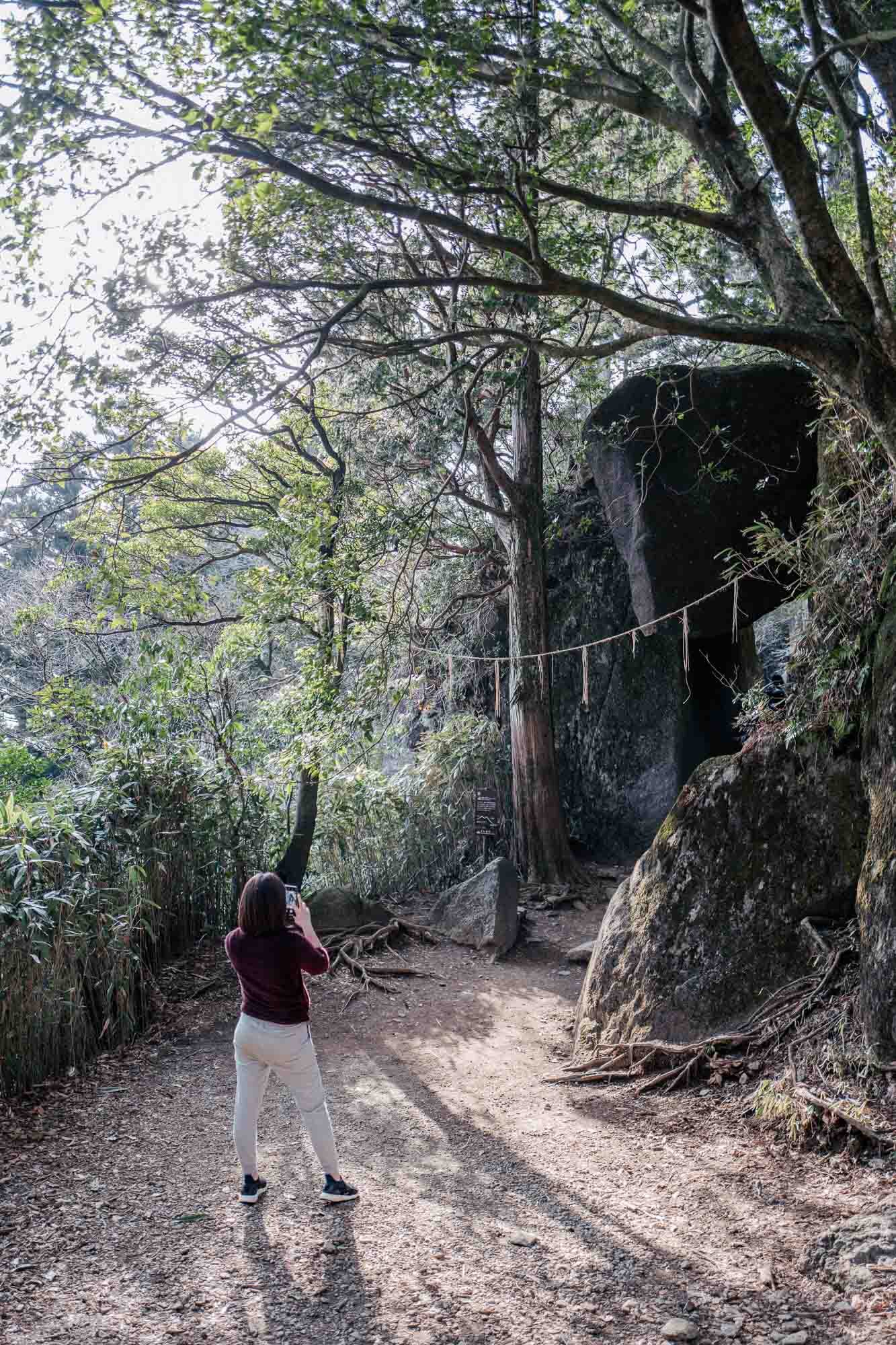
After spending an hour or so at one of the restaurants around the peak, it was time to start the hike downhill, along a trail known as "Otatsuishi route". This trail runs relatively parallel with the Tsukuba-san ropeway, and was a much more pleasant experience than the uphill hike. The incline along this route isn't as steep, and it was also much more varied in terms of landscapes, views and points of interest. There are many interesting rock formations along the way.
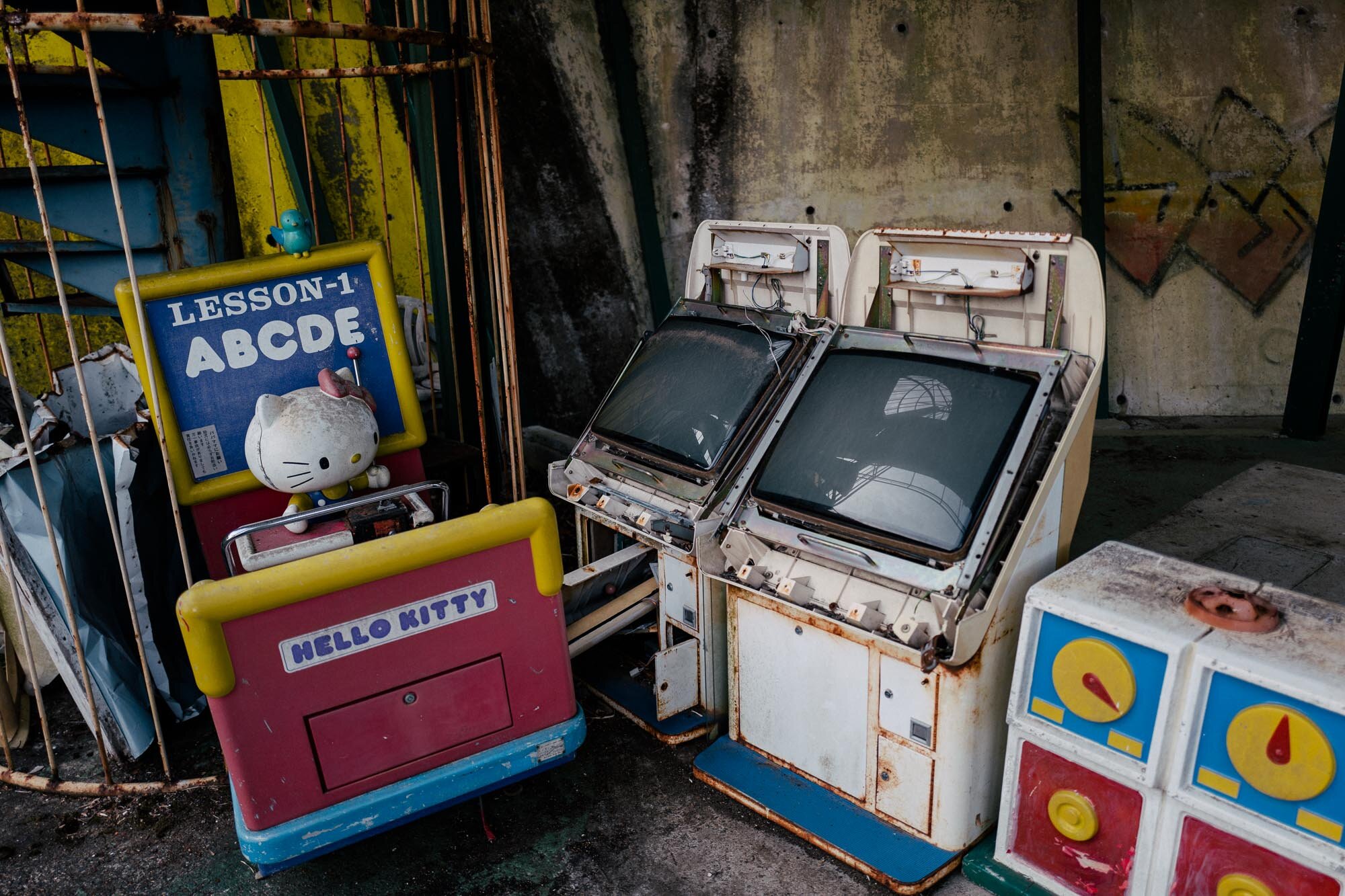
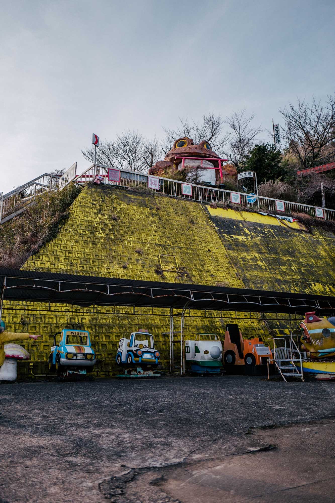
Just before reaching the finishing point, where the bus will take you back to Tsukuba Station, you'll also stumble across an abandoned amusement park. This place was quite odd, as it looked as if had been left suddenly, to wither away by the forces of nature.
In all, the entire visit to Tsukuba started by taking the Tsukuba Express train from Akihabara Station at 10:00, and we were back at the same location around 18:30. Travel time in each direction was around 90 minutes, divided equally between the time on the Tsukuba Express train, and the bus. The reasonable travel times, as well as accessibility, makes Mt. Tsukuba very suitable as a day-trip destination. The actual hiking time was about three hours, with plenty of stops for photo-snapping along the way.
Visitors with more time than us might opt for exploring a few other hiking trails as well. These connect the peak with Tsukuba Kogen Camping Ground on the northern side of the mountain, as well as a nearby abandoned Youth Hostel. I am pretty sure I'll come back again to visit those places sometime in the future.
Mt. Tsukuba Cable Car & Ropeway
As mentioned previously, there's also both a Cable Car, as well as a Ropeway near the peaks. These means of transport can be used instead of hiking up the sides of the mountain. The Cable Car starts near Tsukuba-san shrine, on the southern side of the mountain. The ropeway, on the other hand, connects with Tsutsujigaoka, the site of the abandoned amusement park, on the (south-)eastern side of Mt. Tsukuba. Both stations are connected by the same bus route, shuffling visitors between the mountain and Tsukuba Station.
How to get to Mt. Tsukuba
Visitors coming from Tokyo should know that there are two discount tickets available that are recommended if you want to save a few hundred yen. The one we opted for included the round-trip train ride between Akihabara and Tsukuba stations, as well as free use of the bus connecting Mt. Tsukuba to Tsukuba station. The price as of March 2020 is 3360 yen for adults and 1710 yen for children up to 12 years of age. More details here (in Japanese).
There's also another ticket that will set you back 4380 yen, but that also includes free use of both the cable-car and ropeway. You can find more information about it here. Both discount tickets can be purchased by the staff or at the ticket machines operated by Tsukuba Express.
Please note that the Japan Rail Pass is not valid on the Tsukuba Express, as this train operator is not related to JR.
All the photos in this blog post was shot with a Leica Q.

